
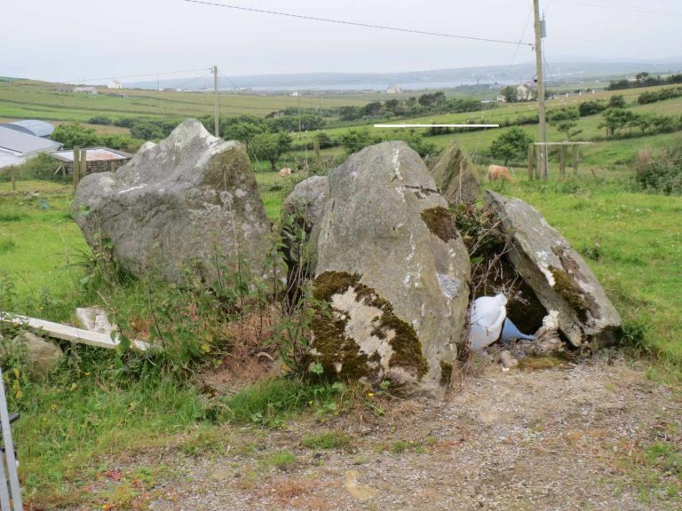
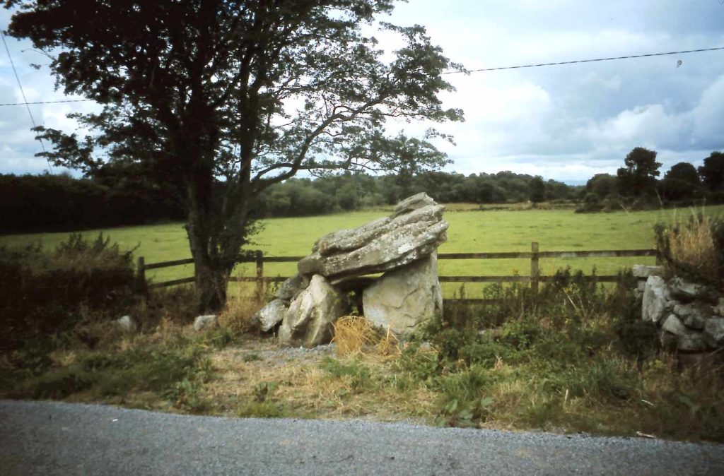
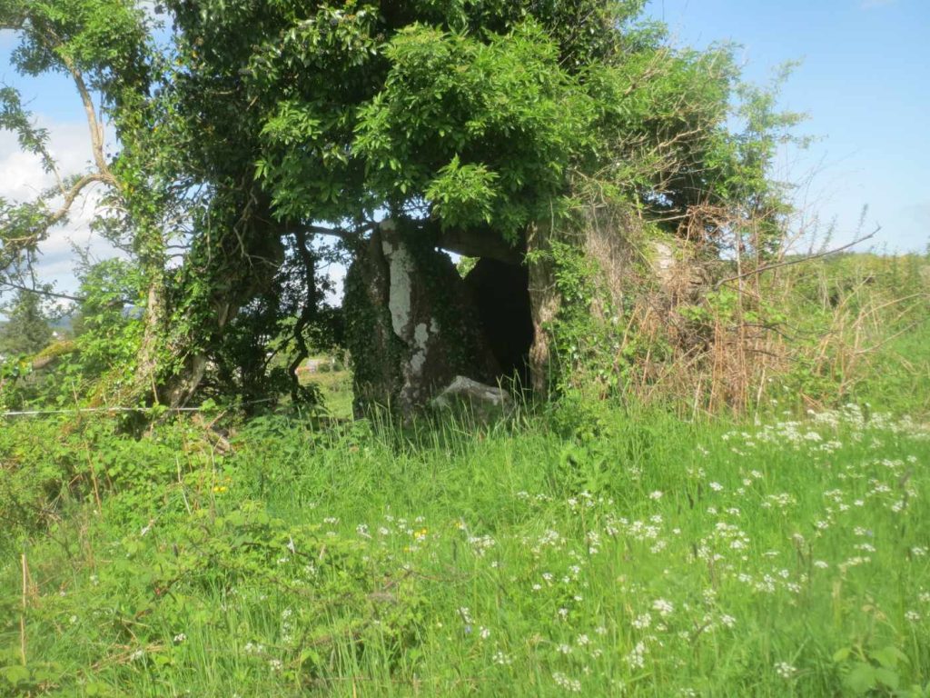
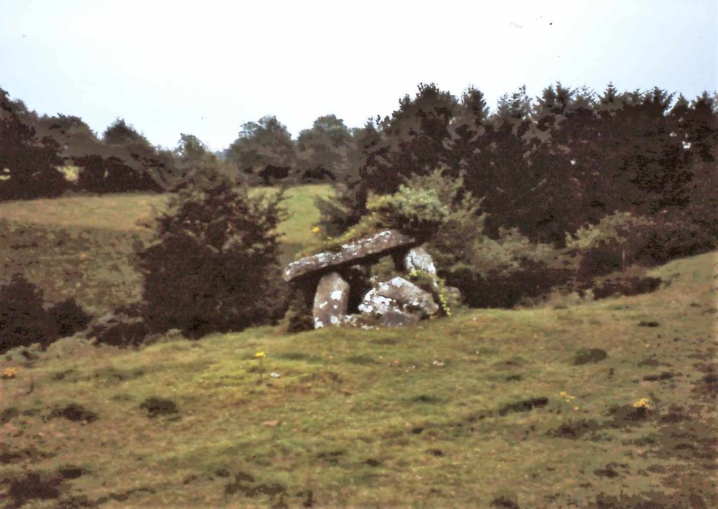
The Portal Tomb of Gortbrack North is located on a farm, about sixty meters southeast of a small stream that flows into the Owenduff River, east of Gortmeer in the townland of Gortbrack North (in Irish, An Gort Breac Thuaidh) in County Mayo, Ireland.
The river valley is cultivated, while the higher surrounding land is marshy. The Portal Tomb was already in a disturbed state when it was visited by Caesar Otway and Lieutenant Henri in 1841, and it has since suffered further damage.
The tomb consists of a roughly northeast-southwest-oriented chamber. Its southeast side is made up of a 1.2-meter-high stone with a sloping top. The opposite side is formed by two closely spaced stones. The eastern one is 0.6 meters high and leans inward, while the adjacent stone stands upright and is 0.85 meters high. In the northeast, three stones are tilted outward. Two of them appear to be portal stones. The northern one lies on its edge and tilts strongly to the east. When it was standing upright, it was at least 2.0 meters high, 0.8 meters wide, and 0.4 meters thick. Beneath it, there is a nearly concealed stone measuring 1.2 meters, which might have been part of the capstone. The capstone was resting on the sides of the gallery in 1841 but is now broken into four pieces, lying inside the gallery. The southern portal stone has approximately the same dimensions.
The stone between them was about 1.0 meter high and pointed when it was in an upright position. It measures 0.8 meters in width and 0.4 meters in thickness, and it was likely the doorstone.